Kategorie:Ort in Oblivia: Unterschied zwischen den Versionen
Zur Navigation springen
Zur Suche springen
K (removed Category:Orte; added Category:Orte nach Region using HotCat) |
|||
| Zeile 1: | Zeile 1: | ||
Diese Kategorie enthält alle Orte in der Region [[Oblivia]]. | Diese Kategorie enthält alle Orte in der Region [[Oblivia]]. | ||
[[Kategorie: | [[Kategorie:Ort nach Region|Oblivia]] | ||
[[Kategorie:Oblivia]] | [[Kategorie:Oblivia]] | ||
[[Kategorie:Orte-Projekt]] | |||
[[en:Category:Oblivia locations]] | [[en:Category:Oblivia locations]] | ||
Version vom 7. November 2016, 02:01 Uhr
Diese Kategorie enthält alle Orte in der Region Oblivia.
Unterkategorien
Diese Kategorie enthält die folgenden 4 Unterkategorien (4 insgesamt):
Seiten in der Kategorie „Ort in Oblivia“
Folgende 49 Seiten sind in dieser Kategorie, von 49 insgesamt.
T
Medien in der Kategorie „Ort in Oblivia“
Folgende 41 Dateien sind in dieser Kategorie, von 41 insgesamt.
-
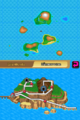
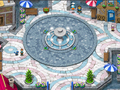 Aquaresort.png 256 × 192; 76 KB
-
 Isla Dolcevi - Anhöhe.png 256 × 192; 7 KB
-
 Isla Dolcevi - Ostküste.png 256 × 192; 7 KB
-
 Isla Dolcevi - Südküste.png 256 × 192; 7 KB
-
 Kokonuba.png 256 × 192; 65 KB
-
 Map Altes Anwesen R3.png 256 × 384; 9 KB
-
 Map Altes Aquädukt R3.png 256 × 384; 10 KB
-
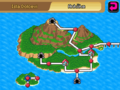
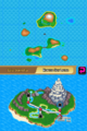
 Map Aquaresort R3.png 256 × 384; 10 KB
-
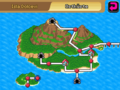
 Map Bukka-Brücke R3.png 256 × 384; 31 KB
-
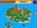
 Map Dämmerruine R3.png 256 × 384; 9 KB
-
 Map Feilblatthöhle R3.png 256 × 384; 10 KB
-
 Map Funkturm R3.png 256 × 384; 10 KB
-
 Map Himmelsfestung R3.png 256 × 384; 19 KB
-
 Map Isla Dolcevi R3.png 256 × 384; 10 KB
-
 Map Isla Fayadeira R3.png 256 × 384; 19 KB
-
 Map Isla Latonera R3.png 256 × 384; 19 KB
-
 Map Isla Milonda R3.png 256 × 384; 9 KB
-
 Map Isla Remboga R3.png 256 × 384; 10 KB
-
 Map Isla Sophita R3.png 256 × 384; 10 KB
-
 Map Isla Tikulela R3.png 256 × 384; 19 KB
-
 Map Kap Dorn R3.png 256 × 384; 10 KB
-
 Map Kokonuba R3.png 256 × 384; 10 KB
-
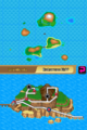
 Map Korallenmeer R3.png 256 × 384; 10 KB
-
 Map Krümmbucht R3.png 256 × 384; 10 KB
-
 Map Lapras-Strand R3.png 256 × 384; 10 KB
-
 Map Latolato-Pfad R3.png 256 × 384; 10 KB
-
 Map Milonda-Landweg R3.png 256 × 384; 9 KB
-
 Map Monte Latolato R3.png 256 × 384; 10 KB
-
 Map Monte Sorbeto R3.png 256 × 384; 10 KB
-
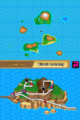
 Map Oblivia-Ruinen R3.png 256 × 384; 10 KB
-
 Map Riskantes Kliff R3.png 256 × 384; 9 KB
-
 Map Silberfälle R3.png 256 × 384; 10 KB
-
 Map Sophita-Landweg R3.png 256 × 384; 10 KB
-
 Map Talugas Haus R3.png 256 × 384; 10 KB
-
 Map Teakholzbusch R3.png 256 × 384; 10 KB
-
 Map Villa di Agonal R3.png 256 × 384; 9 KB
-
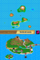
 Map Westliche See R3.png 256 × 384; 18 KB
-
 Map Zwirrwälder R3.png 256 × 384; 9 KB
-
 Map Östliche See R3.png 256 × 384; 18 KB
-
 MS Ranger.jpg 256 × 192; 21 KB
-
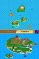
 Villa di Agonal.png 256 × 192; 68 KB


